
A new study published in the journal Nature has found that roughly 90% of scientific studies and government hazard assessments have been underestimating how high coastal water levels already are. The error, averaging about one foot or 30 centimeters, means that tens of millions more people could be at risk from rising seas than previously thought.
What Went Wrong
The problem stems from a mismatch between how sea levels and land elevations are measured. Study co-author Philip Minderhoud, a hydrogeology professor at Wageningen University in the Netherlands, described it as a methodological blind spot. Most studies assume that the zero point in land elevation data matches the actual water level at the coast. In reality, it does not. Factors like waves, tides, currents, wind and climate patterns like El Niño mean coastal water levels are often significantly higher than models assume. In some parts of the Indo-Pacific, that gap is close to three feet or one meter.
What It Means
If seas rise by just over three feet by the end of the century, as some projections suggest, the corrected baseline means waters could inundate up to 37% more land than previously estimated. That would put between 77 million and 132 million more people at risk of flooding. The problem is most severe in the Global South, the Pacific and Southeast Asia, and less pronounced in Europe and along Atlantic coasts.
Real People, Real Consequences
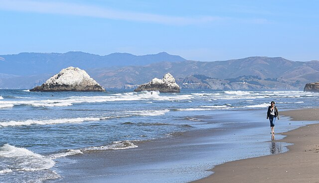
For 17-year-old climate activist Vepaiamele Trief, living in the South Pacific archipelago of Vanuatu, the numbers are not abstract. She has watched beaches erode and coastal trees fall within her lifetime. On her grandmother’s island of Ambae, a coastal road has already been rerouted inland because of rising water. Graves have been submerged. “These studies aren’t just words on paper,” she said. “They’re people’s actual livelihoods.”
Not Everyone Agrees
Some outside scientists urged caution about overstating the findings. Gonéri Le Cozannet of the French geological survey said the problem is well understood and that the study may be exaggerating its implications. Rutgers University sea level expert Robert Kopp noted that most local planners are already aware of their coastal conditions and plan accordingly.
Why This Matters to You
This study matters well beyond the Pacific Islands. Coastal cities across the world, including major urban centres in the US, Europe and Asia, rely on sea level projections to plan flood defenses, infrastructure and housing development. If those projections are built on a flawed baseline, the investments being made today may be inadequate for the reality that is coming.
Additionally, a separate UNESCO report released around the same time warned of major gaps in understanding how much carbon the ocean absorbs, with models differing by 10 to 20%. Together, the studies suggest governments may be planning for climate risks with a significantly incomplete picture.
It is worth thinking about: If 90% of the studies informing government policy have been using a flawed baseline, how much of the infrastructure being built today to protect coastal communities is actually fit for purpose? Who bears the cost when planning decisions made on inaccurate data leave communities flooded? And with the people most at risk living in the Global South and Pacific, where resources to adapt are limited, what responsibility do wealthier nations have to help close that gap?

